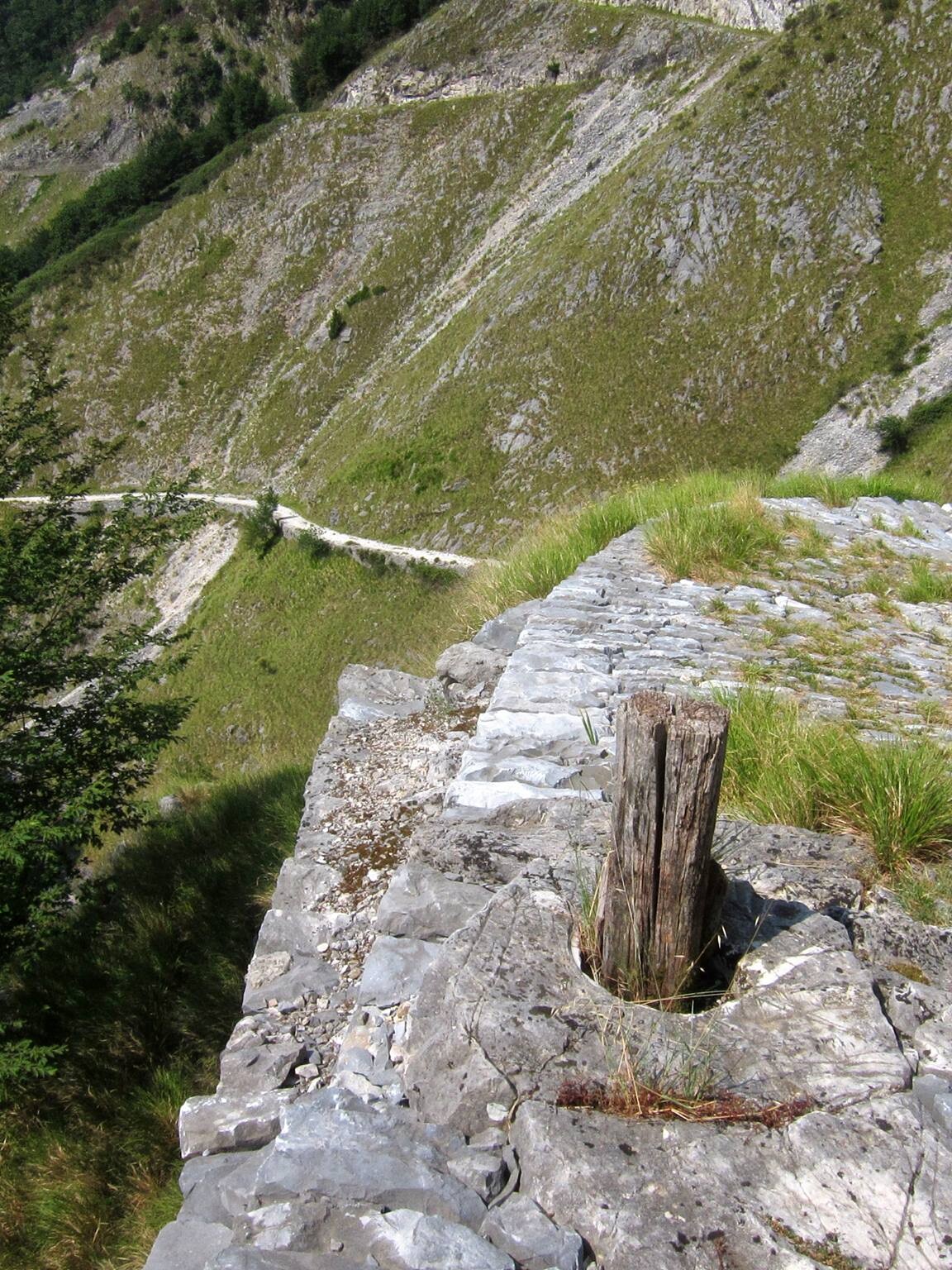
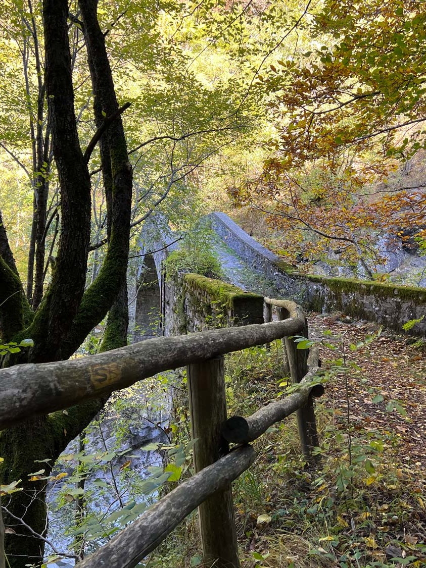
13 centuries of history. 200 km of art and nature stretching between Nonantola and the Tuscan-Emilian Apennines!
The Via Romea Nonantolana rediscovers a historic itinerary connecting the Po Valley with the Tuscan-Emilian Apennines.
From the early Middle Ages and for several centuries thereafter, the Italian peninsula was crossed by a dense network of roadways used by merchants, pilgrims, armies and wayfarers from northern Europe making their way to Rome.
The Via Romea Nonantolana starts from Nonantola, in the heart of the province of Modena and seat of the important Benedictine Nonantola Abbey, and then follows the valley of the river Panaro up to the border with Tuscany.
There are two branches: an eastern and a western one, which merge in Fanano and continue towards the mountain ridge.
Both routes cross the entire territory of the Modena Apennines.
The western branch passes through Pavullo and the hamlet of Renno (with its beautiful parish church).
The eastern branch passes through Montese and arrives at Rocca Corneta.
The two branches meet in Fanano and then climb up towards the mountain ridge, along one of the best-preserved stretches, leading to the Croce Arcana Pass.
There are numerous signs along the route with descriptions of the different stages, and information about the artistic and historical points of interest to be seen along the way.
Today, this ancient communication route attracts 21st century travellers, drawn by its villages, parish churches, castles and precious traces of history handed down to us.
Visitors can count on a warm welcome from the many local tourist operators, the area of Emilia being renowned for its sense of hospitality.
You can download the Via Romea map <a href=”https://www.inappenninomodenese.com/wp-content/uploads/2022/05/cartoguida_romea_68x42_14_compressed-1.pdf” target=”_blank” rel=”noopener”>here</a>
Visit the Via Romea Nonantolana website to find out more about all the stages of the route, and to get all the information you need before setting out!


