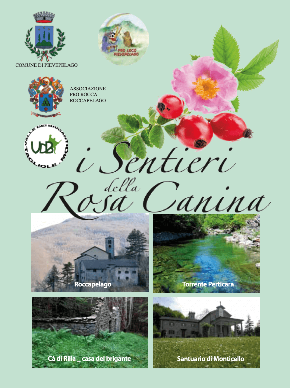
One of the circular itineraries proposed following the ‘I Sentieri della Rosa Canina’ (The Dog Rose Trails) network of trails which involve the hamlets of the municipality of Pievepelago.
The Dog Rose Trails
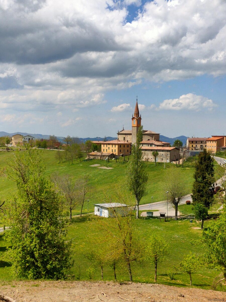
This is a network of trails linking all the hamlets in the municipality of Pievepelago for a total length of about 40 km, integrated with the pre-existing paths and local roads of Roccapelago and S. Andrea – Casoni.
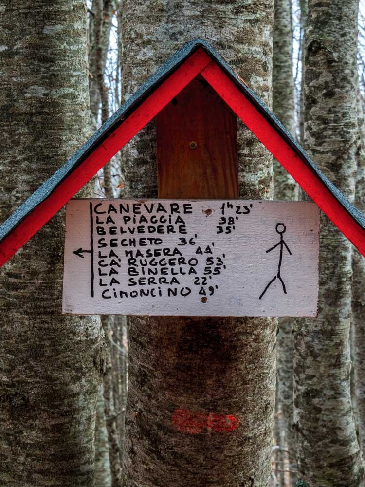
The paths are marked with blue and white signs, at their access points and at strategic points along the way.
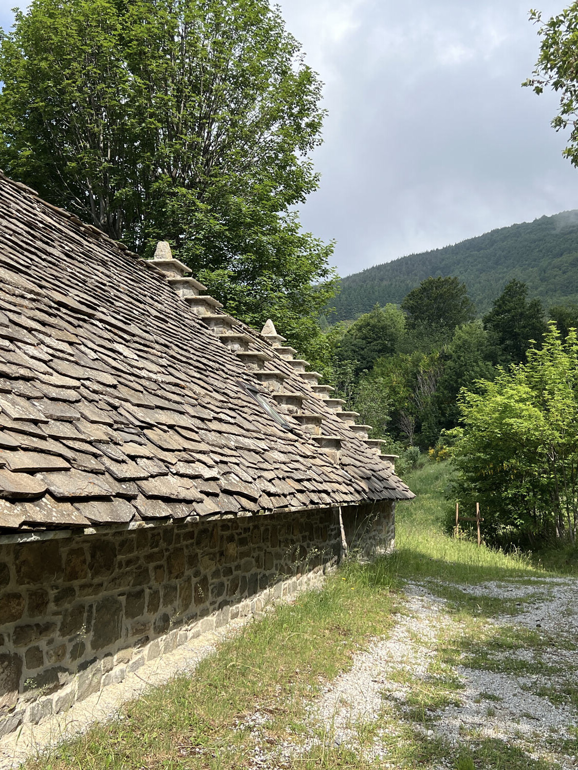
Long-forgotten paths that once connected cottages, villages and hamlets have been brought back to life; once trodden by farmers, shepherds, woodcutters and coalmen, they now await those who wish to immerse themselves in the nature, peace and history of these places.
A special feature of these routes is that they stretch out at medium altitude, ranging from 780 m in Pievepelago to about 1,450 m in Piana di Roncoglione on Mount Nuda.
This means that they can be used for most of the year, even when there is snow or weather conditions are poor.
Special thanks are due to all the volunteers whose invaluable hard work made the salvage of the trails possible.
The trails were officially inaugurated on 16th July 2022 at Capanno Guerri during the special event dedicated to the Via Vandelli.
The itinerary
Departing from Tagliole, from the area of the sports field, take the Sentiero di Chiese e Briganti (Churches and Brigands Trail) and, following the blue and white signs, follow the trail as far as Casa Paretto.
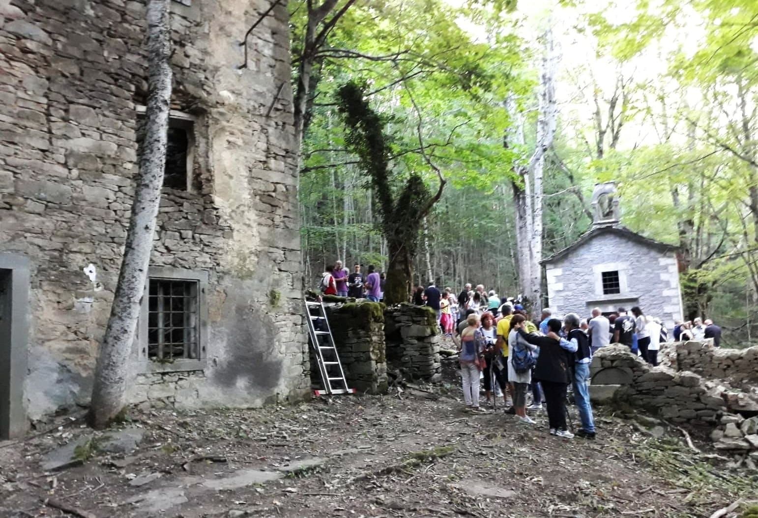
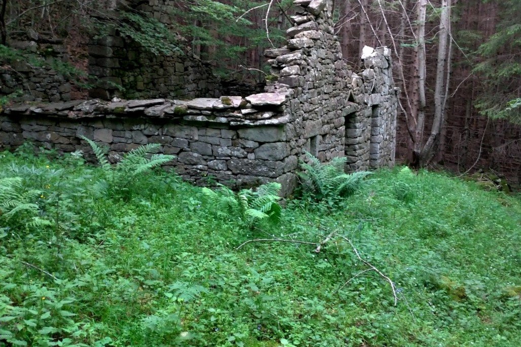
Once here, keep to the left and follow the signs for Roncoglione. The trail begins to climb uphill, lined by old dry-stone walls, bringing you to a disused and now derelict waterworks, which once served Casa Paretto; you will see it on your left.
Shortly afterwards, taking the forest road, you will notice the ruins of an old cowshed to your left; livestock farming was once widespread in the area, and there were once many pasturelands which have now been taken over by woodland.
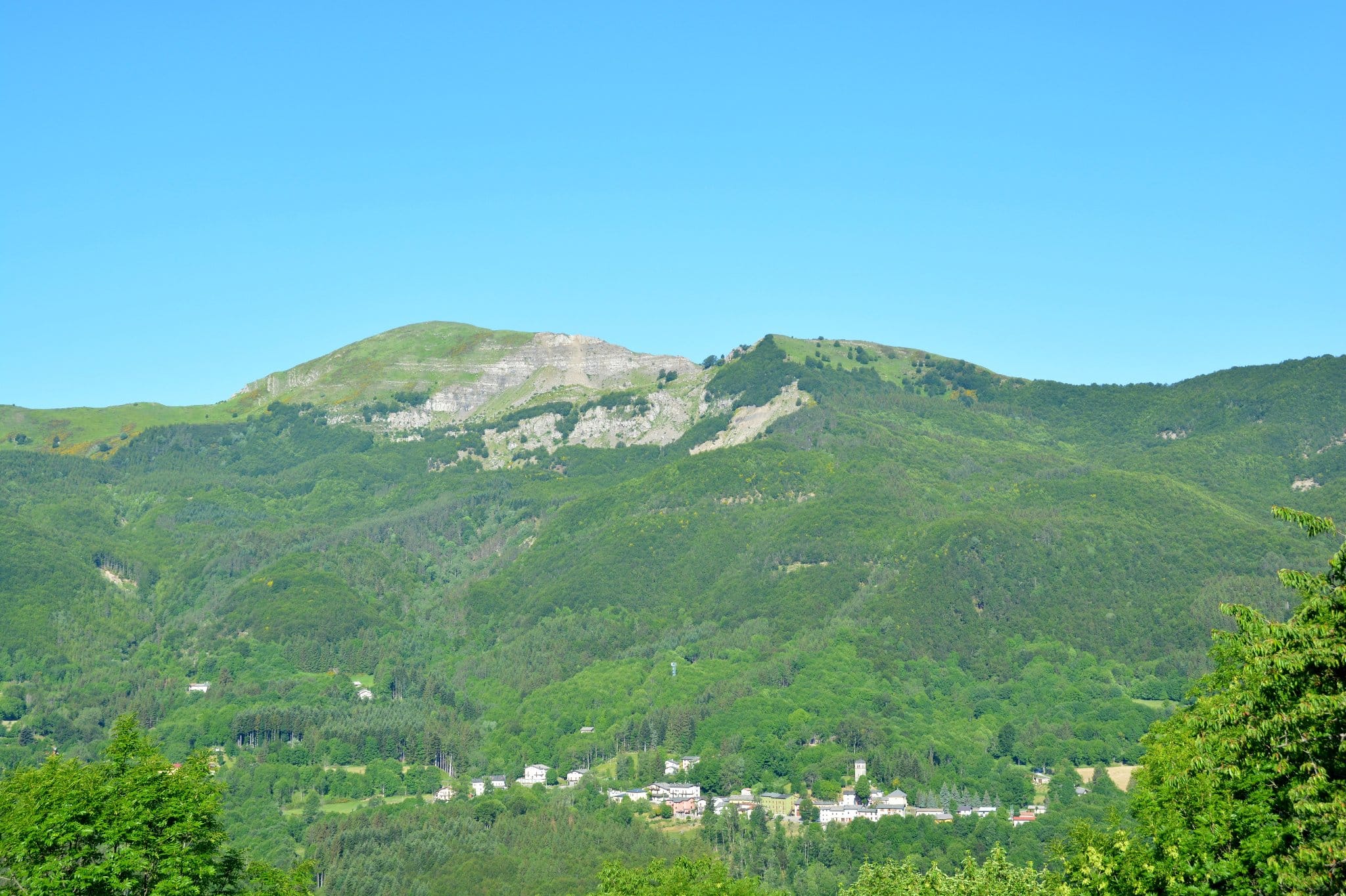
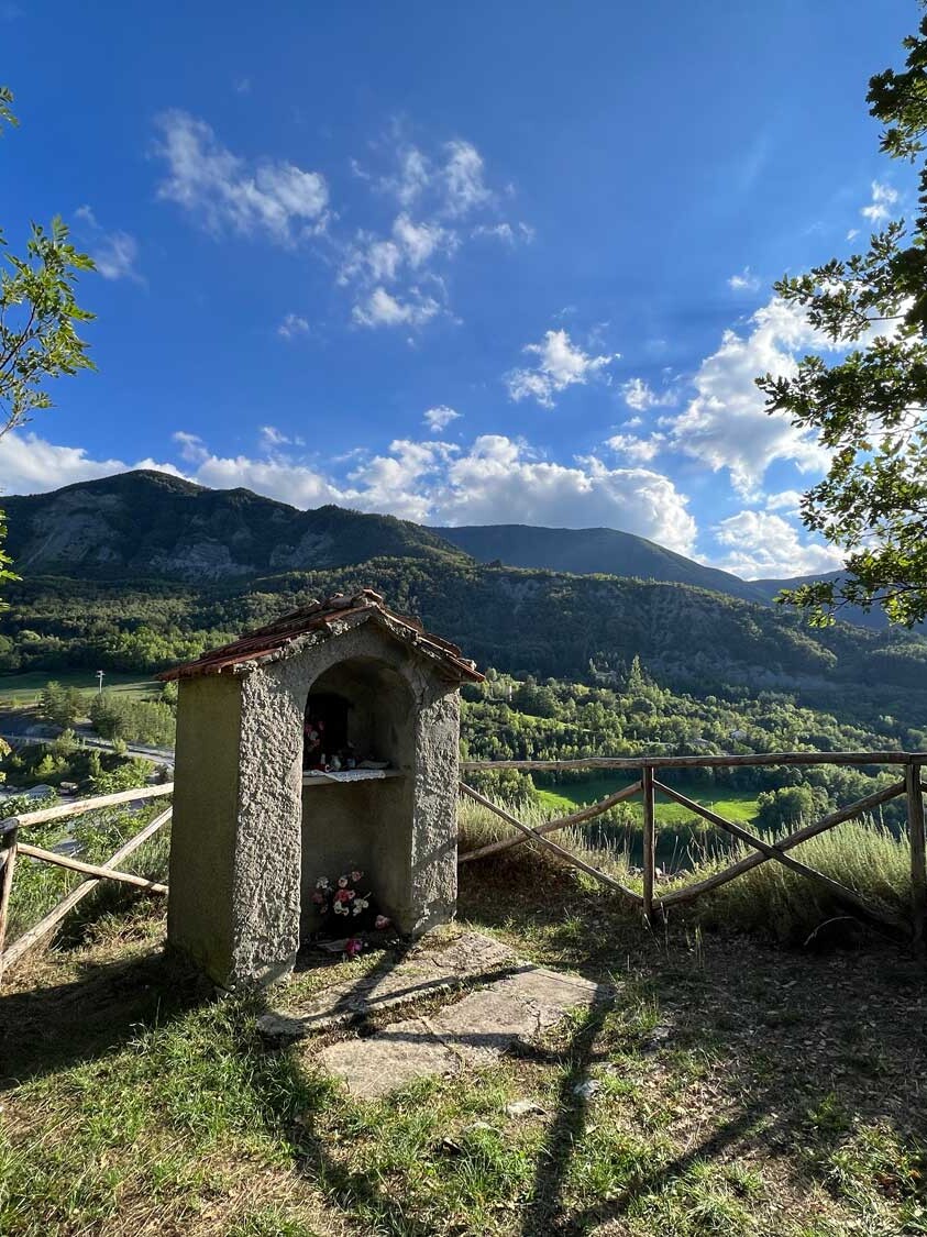
Continue along the forest road for a few hundred metres and then turn left, entering a beech forest. Keep going until you reach Roncoglione, the ridge of Mount Nuda that divides the Perticara Valley from the Tagliole Valley; this is one of the most beautiful viewpoints of all our trails, with views over Mount Cimone, Mount Modino, the Tagliole Valley and more.
When you come to the junction with CAI (Italian Alpine Club) trail no. 535, take this trail, keeping to the left and following the signs for Tagliole; in about 3 km you will be back at the starting point.
The leaflet
The “Rosa Canina” or Dog Rose Trails also have their own leaflet, with a map and description of all the trails.
You can pick it up at Pievepelago Tourist Office and in various other places around the town.
If you prefer to download it directly onto your computer or mobile phone, you can find it at this link.