The trail starts from just behind the central square of Lama Mocogno, Piazza Cesare Battisti, and then crosses Lama di Sotto, running alongside an old house with its 15th-century loggia, evidence of the ancient settlement which once stood here and served as the marketplace to nearby Mocogno Castle.
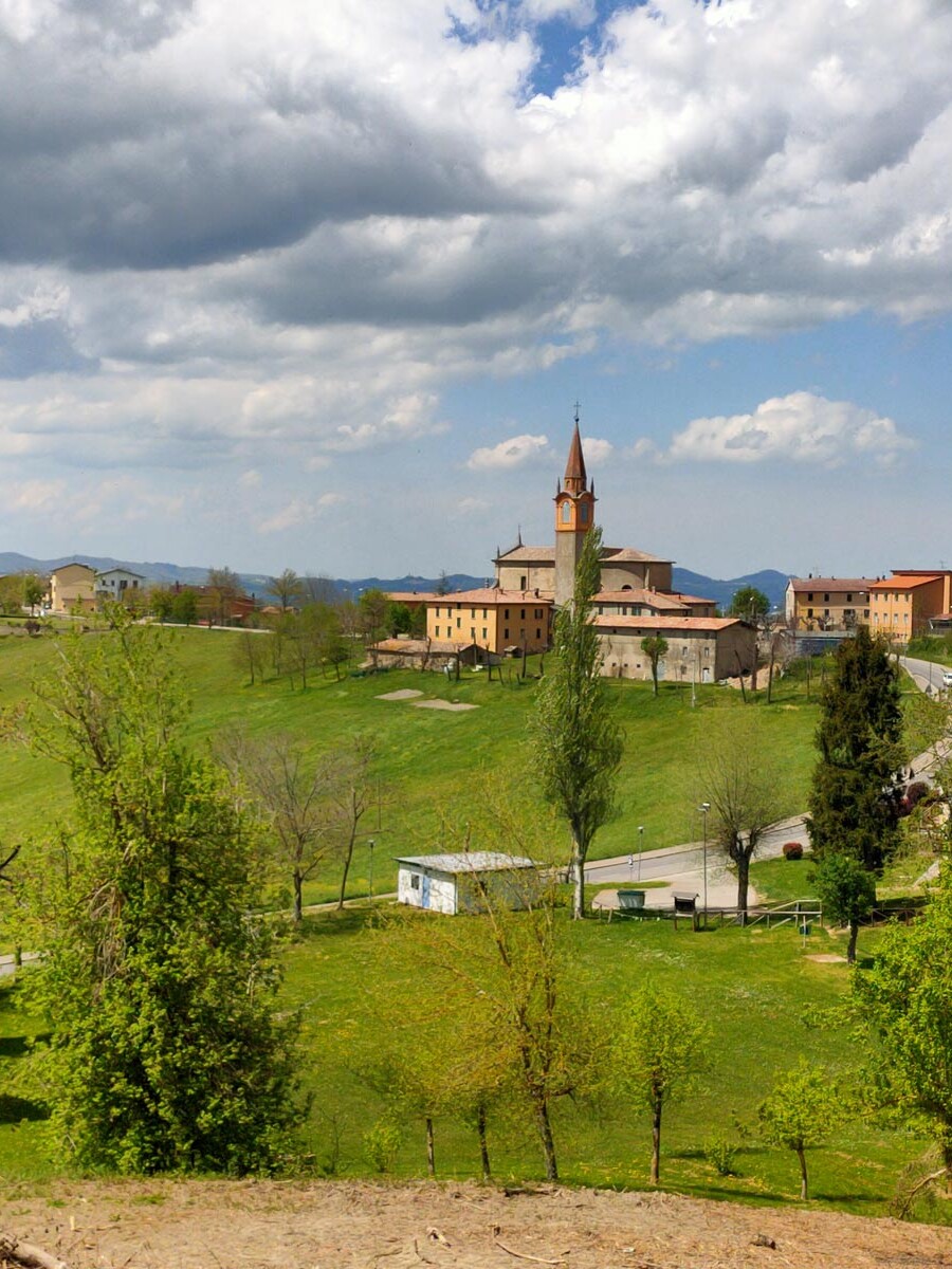
The trail then leads down to La Masina, once the site of a watermill, where you cross over the Mocogno mountain stream. From here you continue uphill to the village of Mocogno, with its church dedicated to St John the Baptist, originally dating to the 13th century and rebuilt in its present form between the 19th and 20th centuries. The trail continues along Via Antico Borgo, through the area known as the ‘Castle’. The name comes from the ancient castle which once stood there, until it was burnt down by the Este family in 1523, an event depicted in the town’s coat of arms; an imposing 20th-century bell tower now stands on the site.
The ascent continues along the old road which connects Mocogno with Piane di Mocogno, through Borrasilano and Tolé, where it crosses CAI (Italian Alpine Club) trail no. 585a, which climbs up from Casarola, via Cadignano (802 metres above sea level) and Mount Mocogno.
Crossing the picturesque meadows of Sella Tolé, you reach the Piane di Mocogno: located at 1303 metres above sea level.
The Piane (flatlands) are a renowned summer and winter tourist resort, home to a federal cross-country skiing centre.
Carrying on, you will reach Mount Cantiere Environmental Protection Area, which spreads over the ridge between the Scoltenna and Dragone streams, covering areas included in the municipalities of Lama Mocogno, Palagano, Riolunato and Pievepelago.
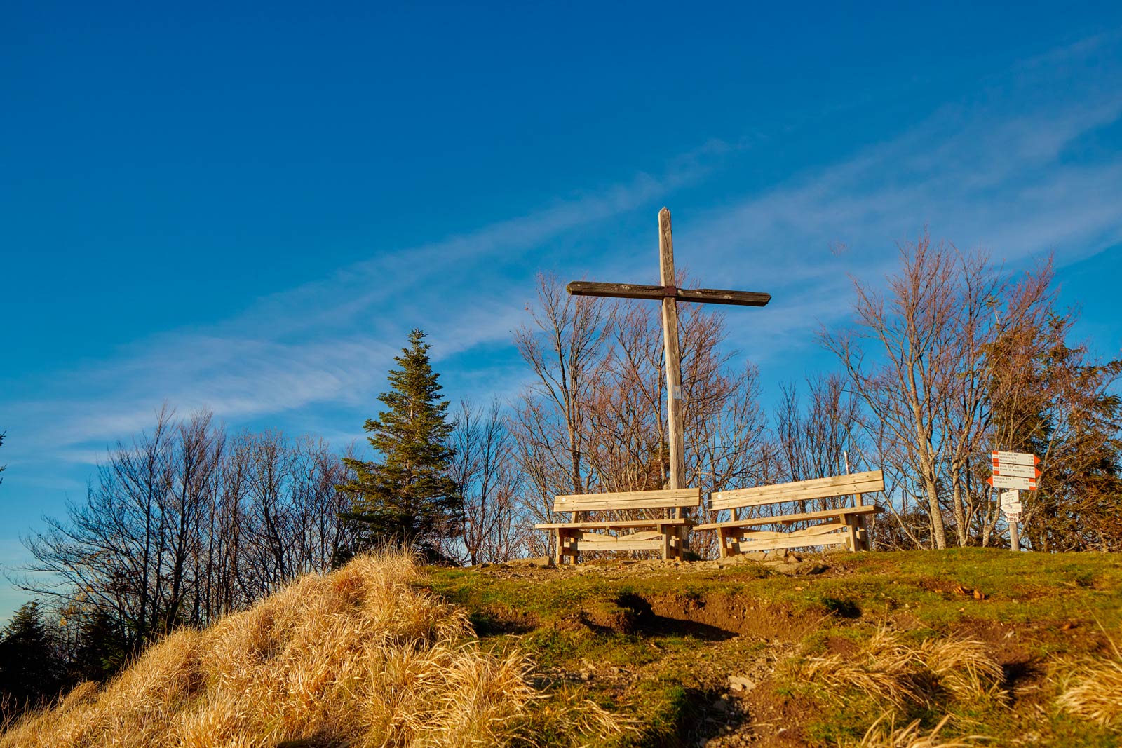
Mount Cantiere, at 1,617 metres above sea level, is the highest peak in the municipality of Lama Mocogno and, thanks to its central position, acts as a spectacular balcony over Mount Cimone and the Apennine mountain range that stretches as far as the eye can see.