A circular route taking in: Casoni – Via Vandelli – Roncovecchio – Roccapelago – Casoni
One of the circular itineraries proposed following the ‘I Sentieri della Rosa Canina’ (The Dog Rose Trails) network of trails which involve the hamlets of the municipality of Pievepelago.
The Dog Rose Trails
This is a network of trails linking all the hamlets in the municipality of Pievepelago for a total length of about 40 km, integrated with the pre-existing paths and local roads of Roccapelago and S. Andrea – Casoni.
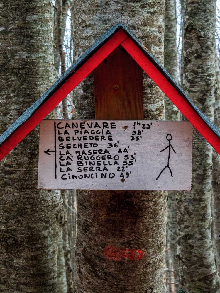
The paths are marked with blue and white signs, at their access points and at strategic points along the way.
Long-forgotten paths that once connected cottages, villages and hamlets have been brought back to life; once trodden by farmers, shepherds, woodcutters and coalmen, they now await those who wish to immerse themselves in the nature, peace and history of these places.
A special feature of these routes is that they stretch out at medium altitude, ranging from 780 m in Pievepelago to about 1,450 m in Piana di Roncoglione on Mount Nuda.
This means that they can be used for most of the year, even when there is snow or weather conditions are poor.
Special thanks are due to all the volunteers whose invaluable hard work made the salvage of the trails possible.
The trails were officially inaugurated on 16th July 2022 at Capanno Guerri during the special event dedicated to the Via Vandelli.
The itinerary
No guide to the area is complete without an itinerary along the Via Vandelli.
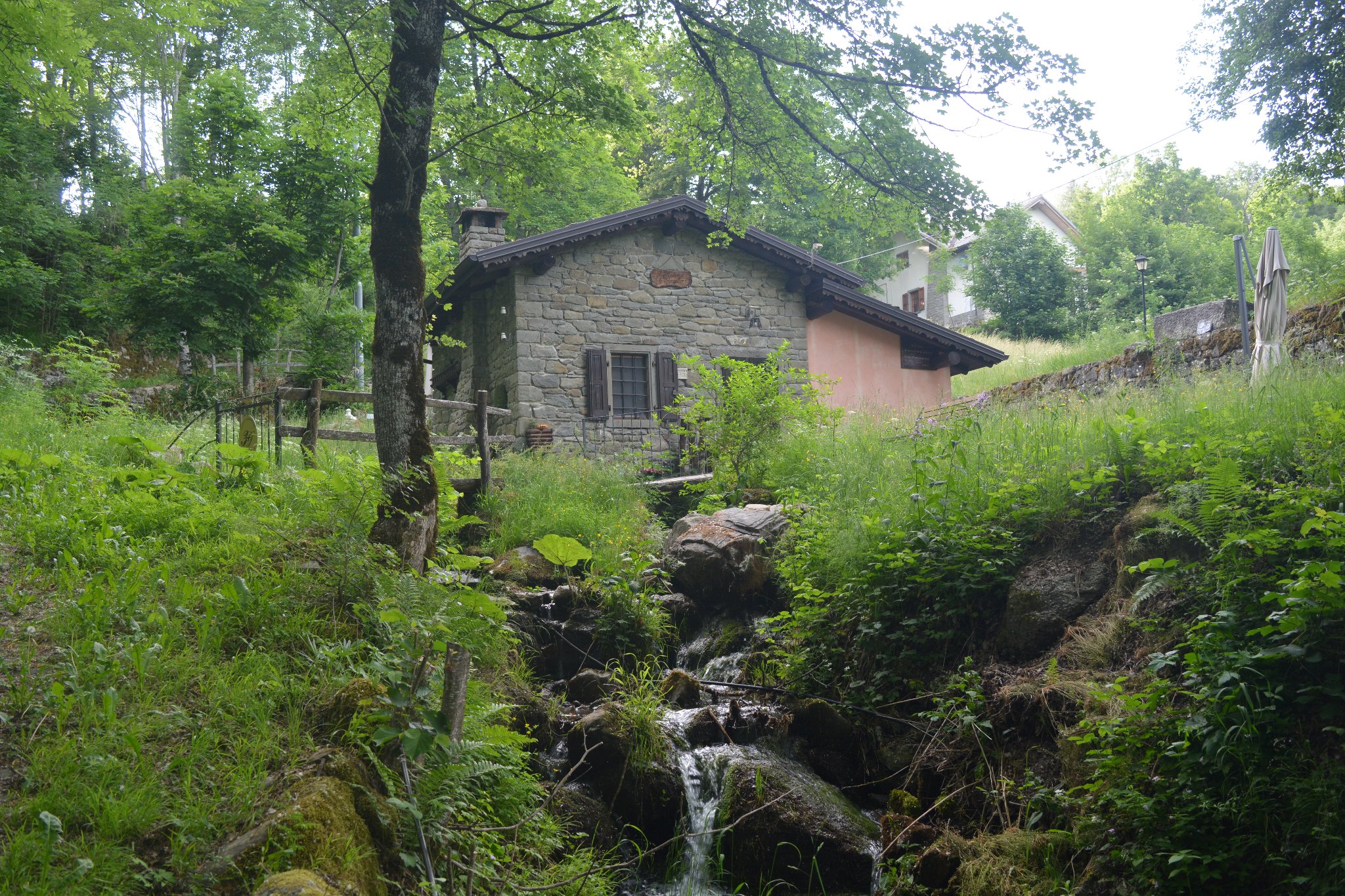
Setting off from Casoni, directly in front of the “La Bsigola” social club, you then follow the signs for the Grottaccia path, which you will also take on the return journey. After walking a few dozen metres along the historic Via Casa Lisini, you then turn right immediately after a beautiful stone fountain, taking the mule track that runs alongside the stream. During the ascent, you will come across the converted ruins of an old mill on your right, and shortly afterwards a renovated mill, again on the right.
Further on, you come to a small, tarmacked road which you need to take, turning left; you are now on CAI (Italian Alpine Club) trail no. 571. You will pass through the hamlet of Fontanaboria, where the tarmack road then gives way to a wide mule track, lined with majestic dry-stone walls and chestnut trees. This is the road that was built to connect the Via Giardini from S. Andrea to Via Vandelli. After its construction, in fact, the Via Giardini was used for the mail service that had previously been carried out along the Via Vandelli. However, it was badly connected with Sant’Annapelago and the upper area of Rocca, and therefore the Via Vandelli still had to be used to reach those areas; hence the need to connect it with the Via Giardini.
Passing Fontanaboria and carrying on among the last chestnut trees to defy the altitude, when CAI trail no. 571 turns right uphill, continue towards the left, along the mule track that becomes CAI trail no. 569. Further on, leaving the Bevitore fountain to the right, and continuing uphill among the beech trees, you will reach the Via Vandelli – about an hour and fifteen minutes after leaving from Casoni. Take the Via Vandelli, turning towards the left, now CAI trail no. 579. You are now in the locality of Pontaccio; here you need to cross over the stream (easy to do) and, leaving to the right an old ruin swallowed up by the woods, you start the uphill climb that leads to Le Lame.
After a flat stretch, the Via Vandelli then continues uphill, ending in a meadow (Prà d’e Rosso). From here you can enjoy fine views of the rugged mass of Sasso Tignoso. From here, you need to take CAI trail no. 567 for Roccapelago, which branches off to the left. Continuing slightly uphill in the direction of Mount Rocca, on the right you can enjoy a beautiful view of Sasso Tignoso, the entire area west of Rocca, Sant’Annapelago and the peaks of the mountain ridge.
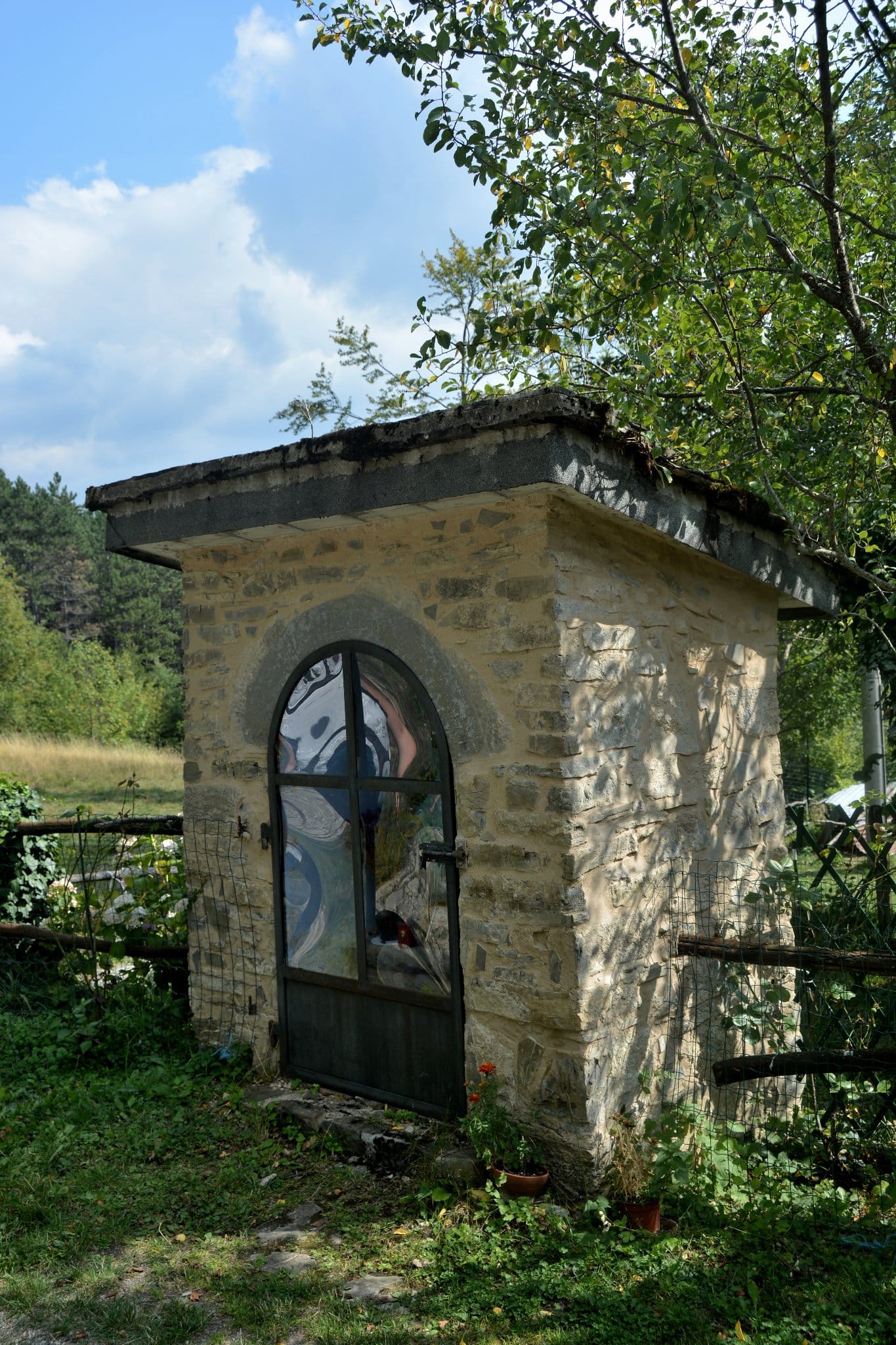
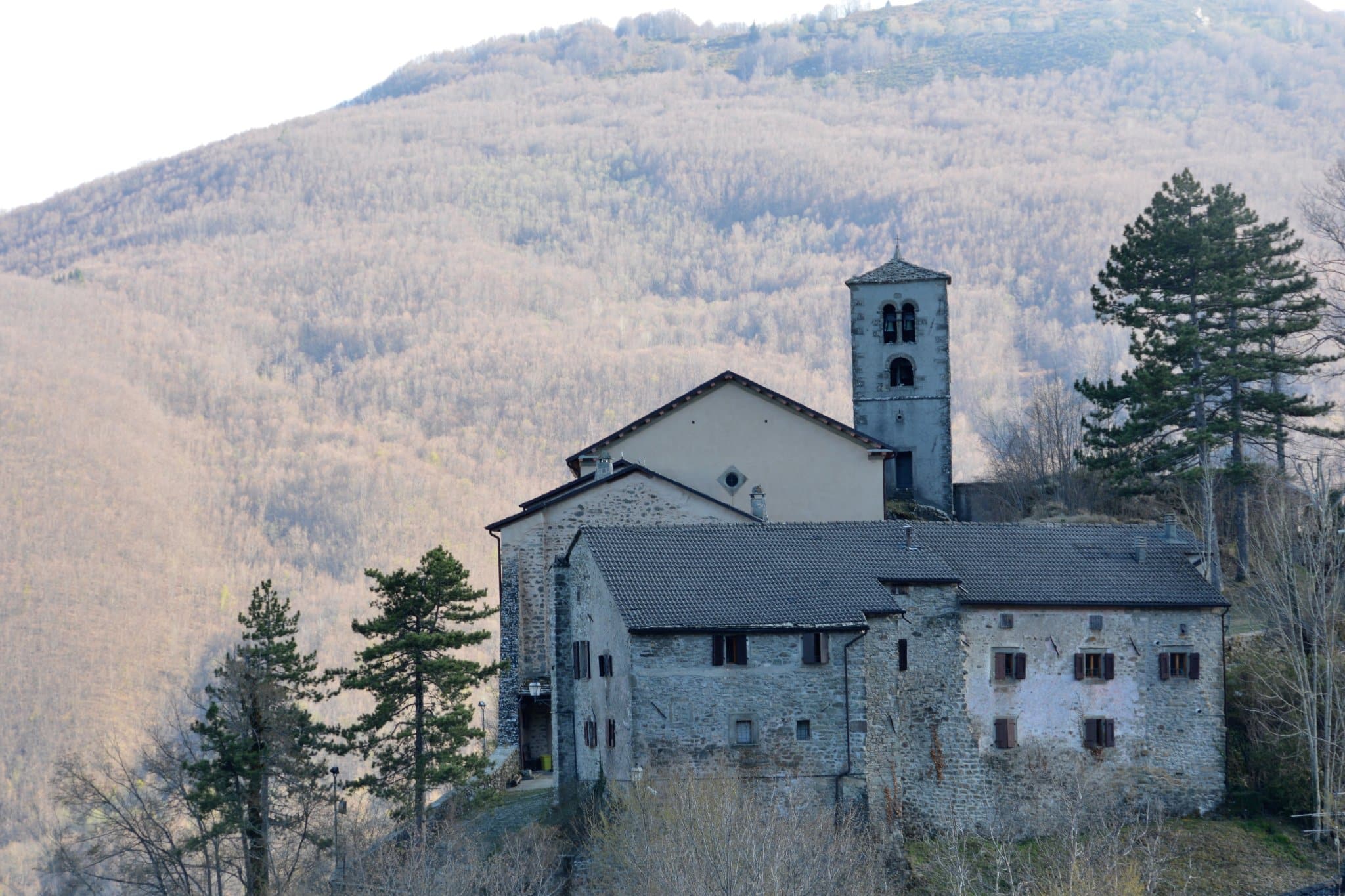
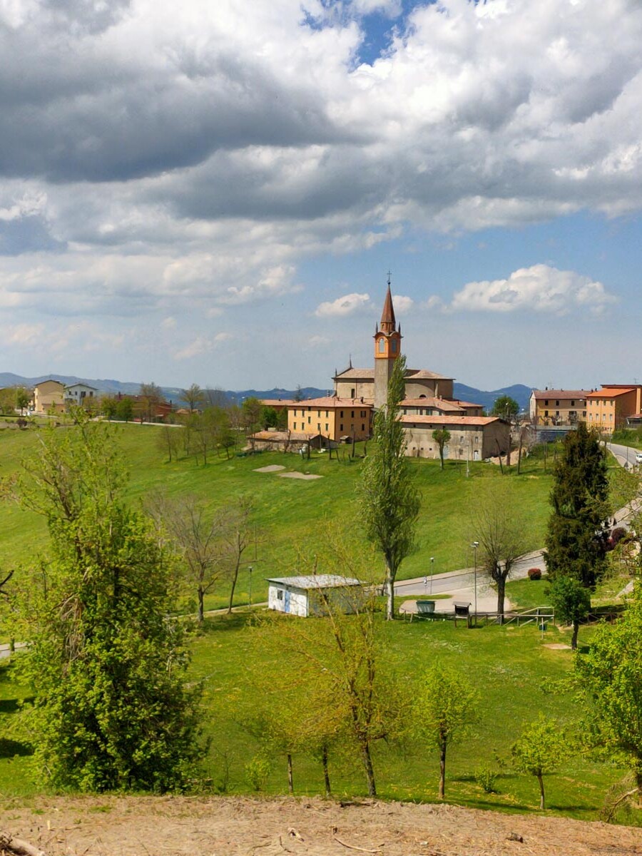
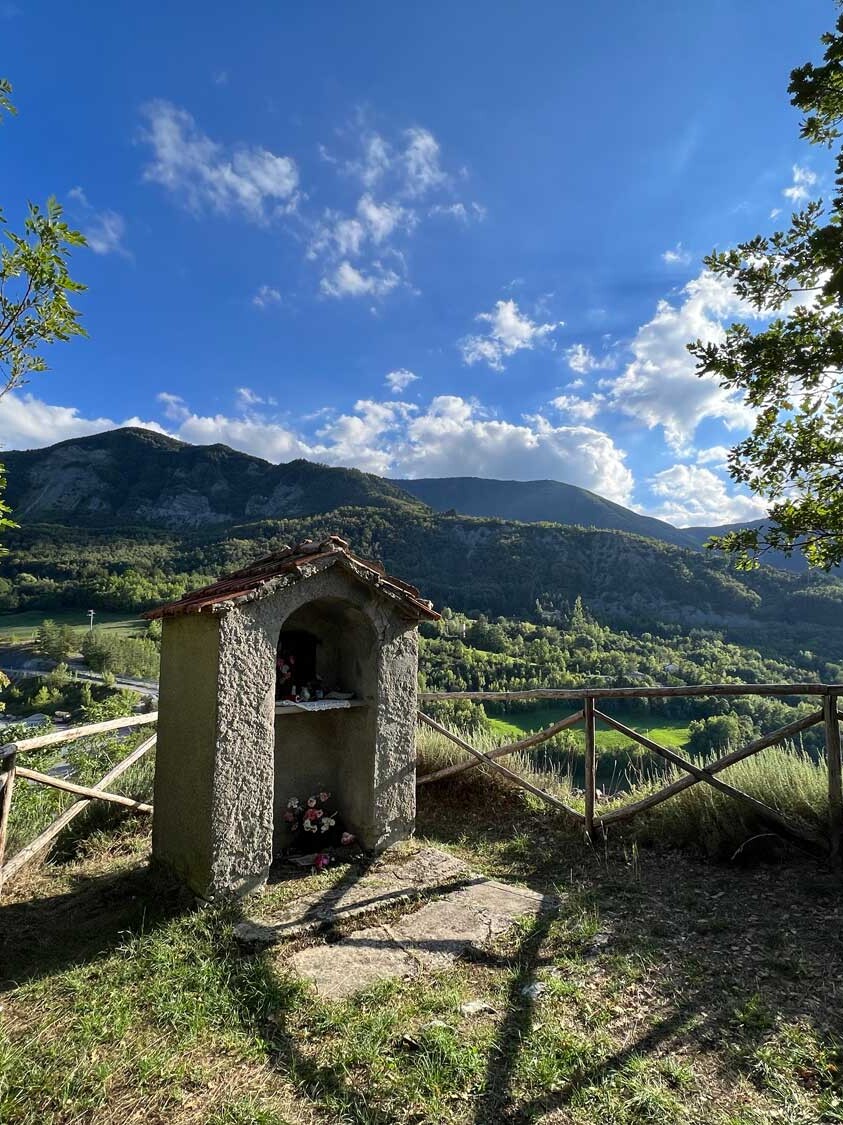
The trail then starts to descend towards Roccapelago, passing by the now uninhabited houses of Roncovecchio (where you can see a beautiful votive shrine) and continuing to descend towards Rocca, where you come out next to the Oratory of Saint Domninus. You then turn left towards the car park and, following the signs, take the Grottaccia path, which will bring you back to the starting point at Casoni in about one hour.
Just to clarify: the starting points and directions indicated are intended purely as examples; the circular routes can of course be joined wherever is most convenient and can be taken in either direction, clockwise or anti-clockwise.
The leaflet
The “Rosa Canina” or Dog Rose Trails also have their own leaflet, with a map and description of all the trails.
You can pick it up at Pievepelago Tourist Office and in various other places around the town.
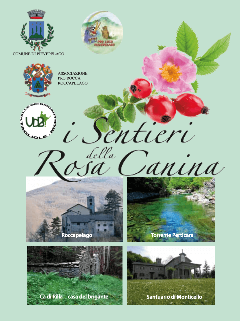 If you prefer to download it directly onto your computer or mobile phone, you can find it at this link