A trail network resulting from the work of volunteers who has brought to light old mule tracks and paths in the Canevare valley
This guide has been produced to be of help to the traveller venturing into the wonderful valley of Canevare, a hamlet of Fanano, and wishing to travel along its ancient roads, which have been brought back to life by volunteers, along with a significant contribution by the local council.
In the past, this road network meant that the local population could get around, moving from village to village, and always ensured that the main town of Fanano was reachable.
Fanano was connected via two main routes.
The most important route was the one that led down from the hamlet of Canevare towards Ca’ Madoia, then joining the Fanano-Fellicarolo road, and from there Casa Marco, Valdilucce, and Fanano.
The other main route lay the foundations for today’s modern road from Canevare to Fanano, and passed through Il Livello, La Rivarola, La Tanella, Le Tonache and Ca’ Pantalone.
Going uphill from Canevare, the road runs alongside the church, passing through Teggiola, and then forks at Prato Valera. Here the road splits into two branches, and each follows the course of a different mountain stream: the Piaggia and the Lezza. Taking the branch which follows the Piaggia stream, and passing through the small villages along the way, you will reach La Capanna-Cimoncino.
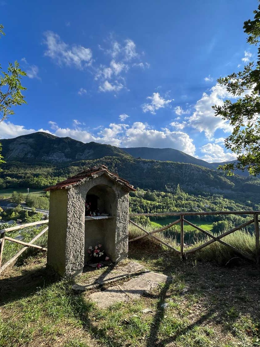
Taking the Lezza branch, you come to Lake Ninfa. There are small side roads branching off from the main routes, which lead to several small hamlets, almost all of which have been completely restored, except for il Berceto, which is totally abandoned.
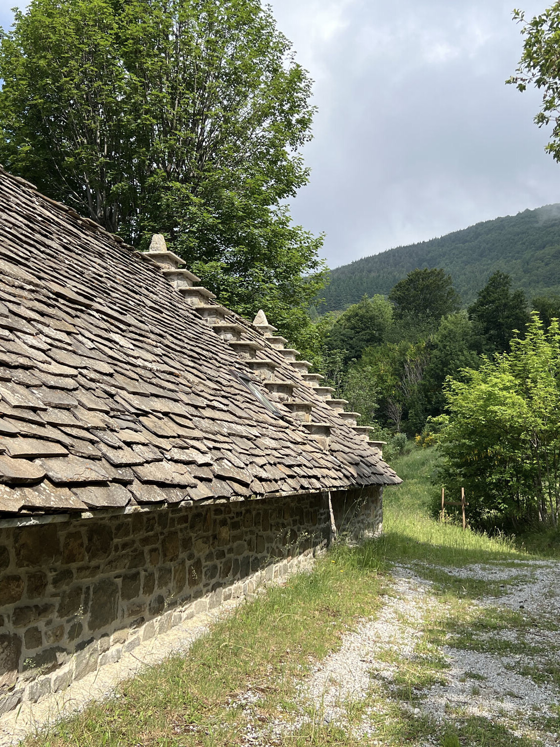
Real works of engineering, all the roads have been restored strictly following their original routes, except for those sections destroyed by landslides or which have been directly built over by new, surfaced roads.
How this guide came to be
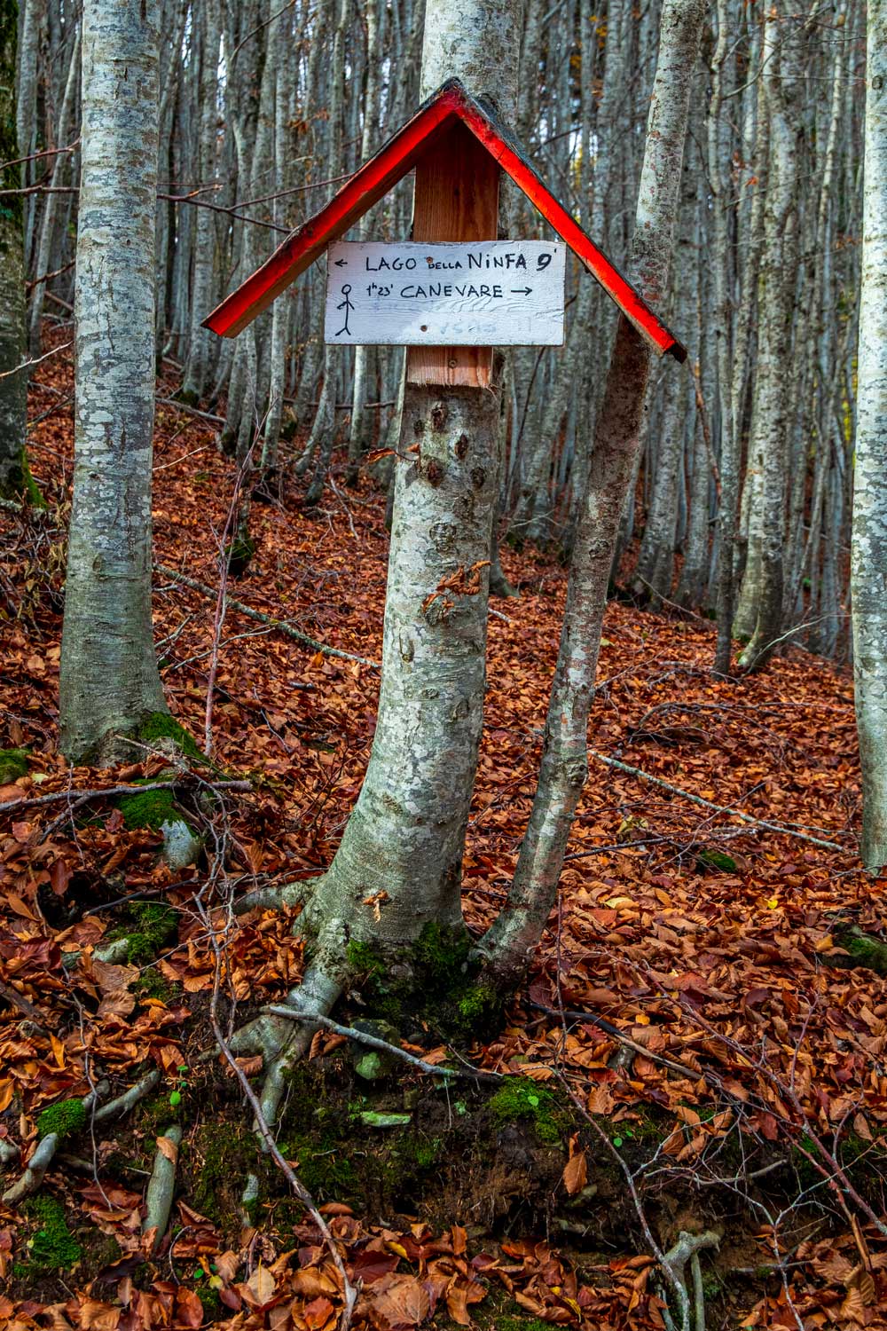
A special feature which really adds to these trails is the way they are signposted: the signs are made of wood and are decorated with a stylised drawing of a stickman, who gives directions to the places to be reached, along with an indication of journey times!
But why the name ‘Trekking delle Capannine’, literally “Cabin” Trekking?
The signs are covered by a mini wooden roof, painted red on the front, and covered with tarpaper to provide protection from the rain, just like a cabin roof.
What a great idea! And, between one signpost and the next, the trail is indicated by small pieces of recycled plastic or similar, attached to the trees by garden wire to act as easily recognisable signage.
All the signposting is really quick and easy to follow. For the main trail, the local people who worked together on the guide were also helped by Fanano’s ASBUC organisation (a local government body which administers funding and support to outlying hamlets), and for the other trails, local volunteers working on the project were helped out by the local agritourism “La Cervarola”.
The trails all start from Canevare, heading off in different directions and, interconnecting with each other, eventually lead to Cimoncino, Lake Ninfa and Passo Serre, often linking up with tarmacked roads. The two main routes run along the right and left banks of the Lezza mountain stream, which divides the valley in two; the network of trails runs throughout the entire valley, with detours and interconnections connecting the various houses and hamlets.
Treks and walks can therefore be adjusted and adapted depending on how far you want to walk, and how much time you have available.
The trail map can be purchased from Fanano Tourist Office, Hotel Gabriella, Cimone Agritourism or Zambelli Mountain Refuge.
Alternatively, you can download it at this link to use it from the comfort of your mobile phone!
We would also like to thank the group Intorno al Monte Cimone for their work.
Happy walking!